Historical City Protection Planning Model
Introduction
Historical cities are living museums.
Ancient streets, centuries‑old buildings, cultural layers.
But they also need modern infrastructure and housing.
How do you protect the past while accommodating the future?
Digital maps hide the delicate context.
You need a physical model.
Specifically, a Historical City Protection Planning Model.
This guide explains why heritage models matter.
What features to include.
And how to use them for conservation and planning.
Let us begin.
What Is a Historical City Protection Planning Model?
It is a physical miniature of a historic city or district.
Built on a sand‑textured base.
A Historical City Protection Planning Model shows protected buildings, archaeological zones, buffer areas, view corridors, and modern development limits.
Unlike a conventional city model, this one emphasizes what cannot be changed.
Red zones for strictly protected monuments.
Yellow zones for regulated renovation.
Green zones for open space buffers.
The model is used by heritage officers, UNESCO committees, and historic preservation planners.
Why a Dedicated Model for Heritage Protection
Historic cities face constant pressure.
New hotels, parking garages, and roads threaten their character.
A Historical City Protection Planning Model makes protection rules visible.
Developers see where they cannot build tall.
Residents understand why their neighborhood has height limits.
Also, the model supports UNESCO nomination and monitoring.
Buffer zones and view corridors are clearly mapped.
For public engagement, a heritage model builds pride and awareness.
Key Features of a Historical City Protection Planning Model
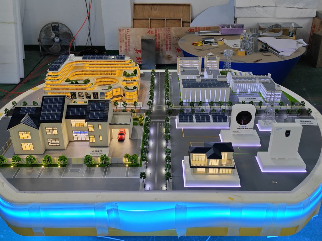
Let us break down what makes a model effective for heritage planning.
Protected Building Grading
Grade I (national monuments) in red.
Grade II (important local heritage) in orange.
Grade III (contributing structures) in yellow.
Non‑heritage buildings in grey.
Archaeological Zones and Sensitive Areas
Subsurface archaeological potential marked with hatched patterns.
Areas where digging is restricted.
Buffer Zones
UNESCO World Heritage buffer zones shown as transparent overlays.
Height control areas indicated.
View Corridors and Vistas
Lines from key viewpoints to landmarks.
Shows where new construction would block historic sightlines (referencing a Urban Landscape Planning Sand Table Model for landscape context).
Historic Street Patterns and Plots
Original medieval or colonial street layout highlighted.
Plot boundaries shown.
Modern Development Limits
Areas where new construction is permitted, with height and massing restrictions.
Often shown as translucent blocks.
Conservation Projects and Phasing
Areas of facade restoration, structural reinforcement, or infrastructure upgrades.
Phase 1, 2, 3 distinguished.
Public Realm and Heritage Trails
Pedestrian routes connecting historic sites.
Interpretive signage locations.
Interactive Features
Removable development proposal blocks to test visual impact.
LEDs to highlight protected monuments.
A well‑designed Historical City Protection Planning Model answers: “What must be saved, and where can we carefully grow?”
Materials for Heritage Protection Models
Heritage models emphasize clarity of protection zones.
Laser‑cut MDF or acrylic – For building massing.
Colored acrylic sheets – For protection grades (red, orange, yellow).
Transparent vinyl overlays – For buffer zones and view corridors.
Fine sand or textured paint – For ground.
Printed vinyl – For labels and heritage trail markers.
Small acrylic blocks – For modern development proposals (removable).
Avoid overly modern materials – the model should feel respectful of history.
The Custom Production Process: Step by Step
How is a historical city protection planning model made?
Here is the typical workflow.
Step 1: Heritage Data Compilation
You provide conservation area maps, building grade inventories, UNESCO buffer zone boundaries, view corridor studies, and modern development plans.
The model maker identifies protected zones.
Step 2: Scale Selection
Common scales: 1:500 to 1:5,000.
1:500 for a detailed historic district.
1:2,000 for a larger historical city.
Step 3: Base and Topography
A reinforced base is cut.
Original topography (hills, river) sculpted – historical cities are often sited on natural features (referencing a Mountain City Planning Scale Model where applicable).
Step 4: Historic Building Massing
All historic buildings added with protection grade colors.
Non‑heritage buildings in neutral grey.
Step 5: Archaeological and Buffer Zones
Hatched overlays for sensitive areas.
Transparent films for UNESCO buffer zones.
Step 6: View Corridors
Lines drawn from key viewpoints (city walls, towers, hills) to monuments.
Step 7: Historic Street Pattern
Original street layout highlighted.
Step 8: Modern Development Limits
Areas where new construction is allowed, with removable proposal blocks.
Step 9: Conservation Phasing
Phase 1, 2, 3 restoration projects marked.
Step 10: Heritage Trails
Pedestrian routes added.
Step 11: Interactivity
Removable development blocks for visual impact testing.
LEDs for monument highlighting (optional).
Step 12: Quality Control and Cover
The model is inspected for accuracy of protection colors.
A clear acrylic cover or low railing is added.
A custom Historical City Protection Planning Model typically takes 10 to 14 weeks.
Applications for Heritage Protection Models
Where are these models used?
UNESCO World Heritage Management
Monitor buffer zones and view corridors.
Report on conservation status.
Historic Preservation Commission Reviews
Assess development proposals against protection rules.
Deny or approve based on visual impact.
Heritage Impact Assessments (HIA)
Test how a new hotel or parking garage affects historic fabric.
Public Engagement and Heritage Awareness
Residents see why their neighborhood is protected.
Tourists understand the city’s layered history.
Grant and Funding Applications
Demonstrate conservation needs to national and international bodies.
Integration with Other Planning Models
An Urban Master Planning Sand Table Model provides the modern land use context – your heritage model shows the protected areas.
Case Study: Heritage Model Prevents Inappropriate High‑Rise
A historic city with a UNESCO designation faced a proposal for a 20‑story hotel near the cathedral.
The developer argued the tower would not be visible.
The heritage authority commissioned a Historical City Protection Planning Model at 1:1,000 scale, covering the cathedral district.
The model included view corridors from six key points.
A removable acrylic block representing the proposed tower was placed.
From each viewpoint, the block clearly intruded on the cathedral’s silhouette.
The proposal was rejected.
The model cost $35,000.
The city’s UNESCO status was preserved.
Cost Factors for Historical Protection Models
Area covered – Historic core only vs. entire city.
Number of protection grades – 3 vs. 6 grades.
View corridor complexity – Basic vs. multiple viewpoints with distance markers.
Interactivity – Static vs. removable development proposal blocks.
Typical range: 85,000 for a full city heritage model with detailed buffer zones and view corridors.
How to Choose a Model Maker for Heritage Projects
Experience with conservation or UNESCO models – Not just master planning.
Ability to represent protection grades – Clear color coding.
Understanding of view corridors and sightlines – Essential for heritage impact.
References from heritage agencies or UNESCO sites – Call two.
Ask for a sample of a model showing a protected monument, buffer zone, and view corridor.
Maintaining and Updating Your Heritage Model
Heritage protection plans evolve as new buildings are listed or buffer zones adjusted.
Use removable building grade stickers – Upgrade a building from Grade III to Grade II when newly listed.
Replaceable buffer zone overlays – Update UNESCO boundaries.
Annual review – Compare to updated heritage registers.
Budget for updates – Every 3‑5 years for major plan revisions.
For a Comprehensive Urban Planning Scale Model that includes heritage as a layer, the same modular approach works.
Display Tips for Maximum Impact
In a Heritage Office or UNESCO Visitor Center
Low pedestal with even lighting.
A legend explaining protection colors and view corridors.
For Development Review Hearings
Place the model on a rolling cart.
Use removable proposal blocks to test different designs.
For Public Heritage Tours
Point at the model before walking the actual city.
Helps visitors understand the layout.
Keep the Acrylic Cover On
Protect the model from dust and accidental touching.
Common Mistakes to Avoid
Do not use the same color for different protection grades.
Red = highest protection, orange = secondary, yellow = regulated.
Do not forget view corridors.
They are often the most contested element of heritage protection.
Do not ignore archaeological zones.
Underground heritage is as important as standing buildings.
Do not make modern development blocks permanent.
They must be removable to test alternatives.
Do not skip a legend.
Without a legend, viewers cannot interpret protection colors or buffer zones.
Integrating with Other Planning Model Types
A heritage protection model works alongside specialized models for different aspects.
For a city planning a renewable energy transition, a New Energy City Planning Scale Model must respect heritage view corridors – your model shows where solar panels would be visible from historic viewpoints.
For land use and phasing, an Urban Master Planning Sand Table Model integrates heritage zones with growth areas – your model is the non‑negotiable constraint layer.
For a fully integrated city vision, a Comprehensive Urban Planning Scale Model includes heritage as one of many layers – your model provides the protection rules.
For public display, a Government Exhibition Urban Planning Sand Model can feature a heritage theme – educating citizens and tourists.
For landscape context, an Urban Landscape Planning Sand Table Model adds tree canopy and public realm – your model ensures that new plazas respect historic street patterns.
Each type adds depth. The heritage protection model is the guardian of the city’s soul.
Future Trends in Historical City Protection Sand Table Models
Augmented reality – Scan a building to see its historical photo or 3D reconstruction.
Live monitoring – Sensors in historic buildings show vibration or humidity data on the model.
Modular proposal blocks – Developers can bring their own 3D printed proposals to test.
Climate risk overlays – Show which historic buildings are most vulnerable to flooding or heat.
Yet the core remains.
Heritage is irreplaceable – and a physical model helps protect it.
Conclusion
A Historical City Protection Planning Model is an essential tool for safeguarding cultural heritage while allowing sensitive growth.
It makes protection rules clear, tests development impacts, and engages the public.
Focus on protection grades, buffer zones, and view corridors.
Add removable proposal blocks for impact assessments.
Update the model as heritage registers change.
Whether you are a heritage officer, UNESCO coordinator, or preservation architect, invest in a heritage model.
Your city’s past will be protected.
Its future will be respectful.
And remember – whether you need a New Energy City Planning Scale Model for green transitions, an Urban Master Planning Sand Table Model for land use, a Comprehensive Urban Planning Scale Model for integration, a Government Exhibition Urban Planning Sand Model for public display, or an Urban Landscape Planning Sand Table Model for green spaces, each must respect heritage. The dedicated historical city protection planning model is the guardian of that respect.
Model your history. Protect it for generations.


