Project Background
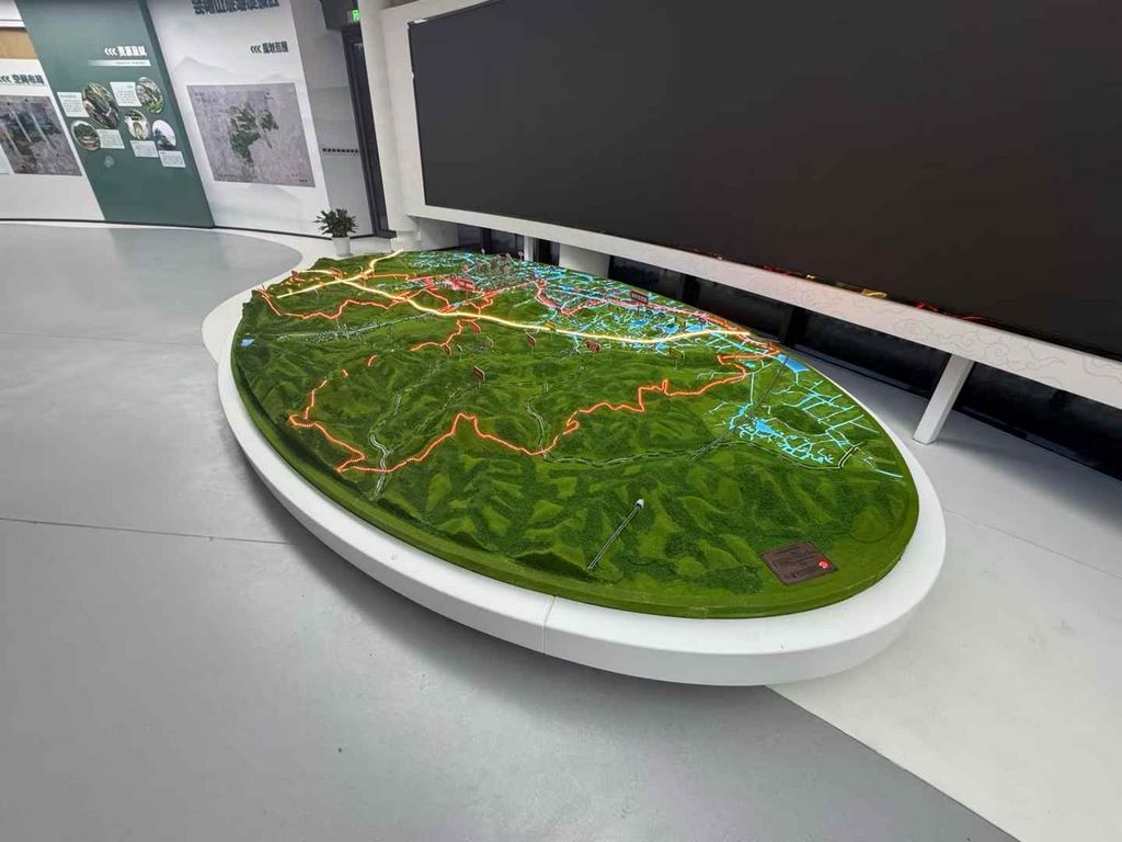
Commissioned to create a sand table model of a mountainous ecosystem at a certain geological park, the project required the simultaneous presentation of Danxia landforms, river valley incision, and vegetation distribution. A multi-material composite printing solution was adopted to complete this interactive hydrological and geological teaching model within 28 days.
Core Production Processes
3D Data Reconstruction
Integrating satellite elevation data with drone oblique photography to generate a terrain grid with 0.2-meter precision
Performed CT scans on typical rock layers to reconstruct the texture and orientation of sandstone deposits
Divided the 50-square-kilometer area into 278 printable units, with the minimum stream width controlled to 0.8mm
Material Combination Strategy
Bedrock layer: Hard resin mixed with mineral powder to simulate the fracture characteristics of different rock layers
Topsoil layer: Flexible resin mixed with organic fibers to achieve the natural undulations of meadow terrain
Water body section: Crystal resin combined with blue light curing to create a gradient of translucency
Stepwise post-processing
Topographic shaping: Large-scale shaping using a CNC engraving machine, followed by manual engraving of gully details using dental tools
Ecological implantation: Fixing moss micro-landscapes using micro-dispensing technology, with over 120 clusters implanted per square meter
Surface reinforcement: Rock layers coated with geological protective agents, with additional wear-resistant UV coatings applied to riverbed areas
Ecological coloring scheme
Rock layer coloring: Inspired by the mineral pigment formulas of Dunhuang murals, natural color bands of sedimentary rocks are sprayed in layers
Vegetation transition: Six ecological community gradients are completed using an airbrush, with tree canopies employing sponge printing techniques
Dynamic water bodies: Fiber optic arrays are embedded in resin to simulate the rippling reflections of a stream.


